About:
I have 3 years experience in the field of GIS and Remote Sensing. I can perform GIS related tasks for you including- File conversion
- Georeferncing
- Image classification
- Hydrological analysis
- Map making
- Topology building
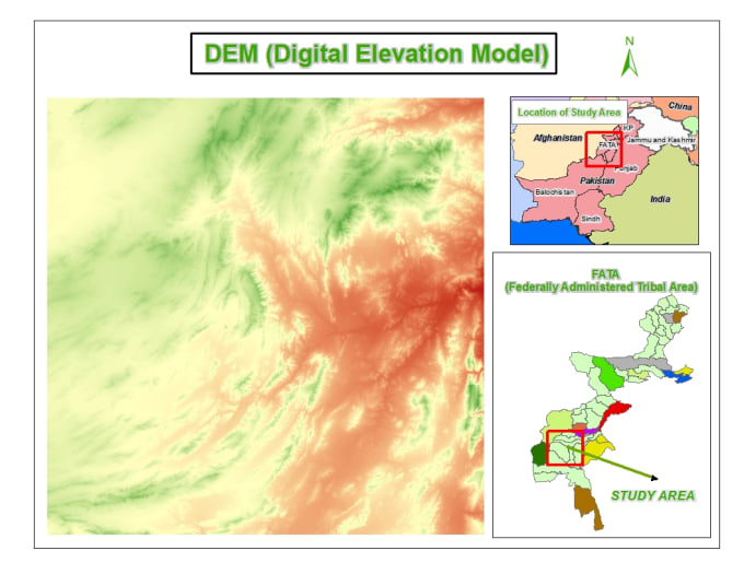
- Elevation modeling
Reviews
: : : : :
No comments:
Post a Comment